Geolocate

Shahbad topographic map

Click on the map to display elevation.

About this map

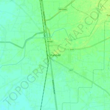
Name: Shahbad topographic map, elevation, terrain.

Location: Shahbad, Kurukshetra, Haryana, 132135, India (30.12617 76.82786 30.20617 76.90786)

Average elevation: 265 m

Minimum elevation: 260 m

Maximum elevation: 271 m

Gear up for your next adventure:

🧥Waterproof Pants - Keep dry during rainy hiking conditions
🛰️Satellite Messenger - Emergency communication for areas with no cell service
🧭GPS Handheld Device - Reliable GPS navigation for outdoor adventures
💧Filtered Water Bottle - Safe drinking water on the go
🥾Trekking Poles - Adjustable trekking poles to reduce knee stress and improve stability

As an Amazon Associate, this site earns from qualifying purchases at no extra cost to you.