Geolocate

Hermosa topographic map

Click on the map to display elevation.

About this map

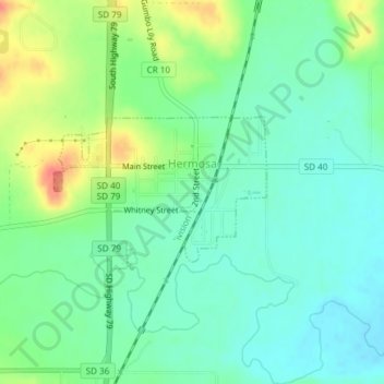
Name: Hermosa topographic map, elevation, terrain.

Location: Hermosa, Custer County, South Dakota, United States (43.83246 -103.20446 43.84320 -103.18414)

Average elevation: 1,010 m

Minimum elevation: 992 m

Maximum elevation: 1,047 m

Gear up for your next adventure:

🧭GPS Handheld Device - Reliable GPS navigation for outdoor adventures
🔦LED Headtorch - Bright and durable light for night activities
Family Camping Tent - Spacious tent suitable for family camping trips
👖Convertible Hiking Pants - Zip-off legs to adapt to changing weather conditions
🛏️Camping Sleeping Mat - Comfortable mats for sleeping outdoors

As an Amazon Associate, this site earns from qualifying purchases at no extra cost to you.