
Ath topographic map
Interactive map
Click on the map to display elevation.
About this map
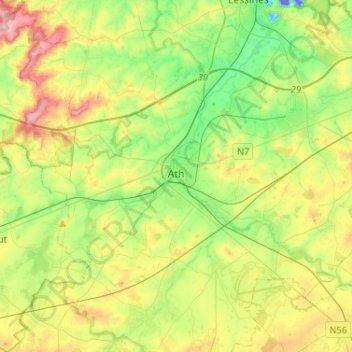
Name: Ath topographic map, elevation, terrain.
Location: Ath, Hainaut, Wallonia, Belgium (50.56246 3.65471 50.69745 3.91340)
Average elevation: 54 m
Minimum elevation: -67 m
Maximum elevation: 139 m