

Guadalajara topographic map
Click on the map to display elevation.
Guadalajara
Under the Köppen climate classification, Guadalajara has a humid subtropical climate (Cwa), a temperate climate that is quite close to a tropical climate, featuring dry warm winters and wet, mildly hot summers. Guadalajara's climate is influenced by its high altitude and the general seasonality of precipitation patterns in western North America.
About this map
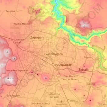
Name: Guadalajara topographic map, elevation, terrain.
Location: Guadalajara, Región Centro, Jalisco, 44450, Mexico (20.51204 -103.49840 20.83204 -103.17840)
Average elevation: 1,572 m
Minimum elevation: 913 m
Maximum elevation: 2,063 m