Geolocate

Ruskin topographic map

Click on the map to display elevation.

About this map

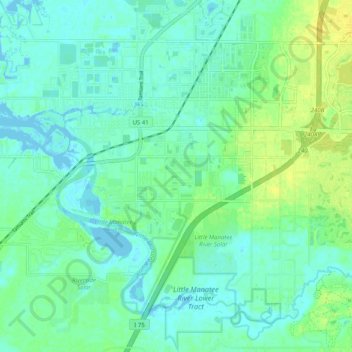
Name: Ruskin topographic map, elevation, terrain.

Location: Ruskin, Hillsborough County, Florida, 33570, United States (27.66628 -82.48386 27.73547 -82.38331)

Average elevation: 7 m

Minimum elevation: -5 m

Maximum elevation: 18 m

Other topographic maps

Click on a map to view its topography, its elevation and its terrain.

Riverview

United States > Florida > Hillsborough County

Average elevation: 13 m

Monnette

United States > Florida > Hillsborough County > Tampa

Average elevation: 7 m

Brandon

United States > Florida > Hillsborough County

Average elevation: 19 m

Cairo

United States > Florida > Hillsborough County > Tampa

Average elevation: 10 m

Apollo Beach

United States > Florida > Hillsborough County

The history of Apollo Beach started in 1923 on land owned by the Dickman family, then used annually for farming and grazing pasture. Much of the land was mangrove and low-elevation and was considered uninhabitable.

Average elevation: 6 m

Limona

United States > Florida > Hillsborough County > Limona

Average elevation: 17 m

Gear up for your next adventure:

💧Reusable Water Bottle - Durable water bottles for hydration on trails
🧢Hiking Hat - Sun-protective and breathable hats for long treks
🧭Orienteering Kit - Tools for map reading and navigation in the wild
🧊Insulated Water Bottle - Keeps drinks cold in summer and prevents freezing in winter
Camping Essentials - All-in-one gear for a comfortable camping trip

As an Amazon Associate, this site earns from qualifying purchases at no extra cost to you.