Geolocate

Piat topographic map

Click on the map to display elevation.

About this map

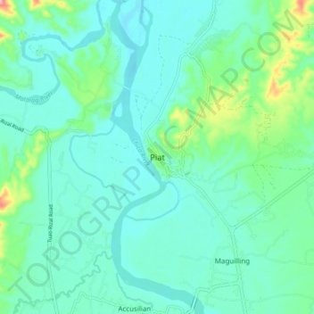
Name: Piat topographic map, elevation, terrain.

Location: Piat, Cagayan, Cagayan Valley, 3527, Philippines (17.75160 121.43712 17.83160 121.51712)

Average elevation: 39 m

Minimum elevation: 11 m

Maximum elevation: 158 m

Gear up for your next adventure:

💧Hydration Pack - Hands-free hydration system for long hikes
🥤Collapsible Travel Cup - Saves space and weight in your mess kit
Lightweight Backpacking Tent - Compact tent for efficient hiking trips
🚲MTB Frame Bag - Carry tools and maps directly on your bicycle frame
🥾Lightweight Hiking Boots - Boots for comfort and mobility on long hikes

As an Amazon Associate, this site earns from qualifying purchases at no extra cost to you.