
Make a donation
Gear up for your next adventure:
As an Amazon Associate, this site earns from qualifying purchases at no extra cost to you.
Illimani topographic map
Click on the map to display elevation.
Make a donation
Gear up for your next adventure:
As an Amazon Associate, this site earns from qualifying purchases at no extra cost to you.
Illimani
Illimani (Aymara and Spanish pronunciation: [iʎiˈmani]) is a prominent fold mountain within the Cordillera Real of Bolivia, a subrange of the greater Andes, and located approximately 82 kilometres (51 mi) southeast of La Paz. With an elevation of 6,438 metres (21,120 ft) at its summit, it is the highest mountain in the Cordillera Real and the second-highest in Bolivia, surpassed by Nevado Sajama.
Make a donation
Gear up for your next adventure:
As an Amazon Associate, this site earns from qualifying purchases at no extra cost to you.
About this map
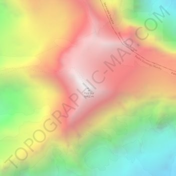
Name: Illimani topographic map, elevation, terrain.
Location: Illimani, Palca, Pedro Domingo Murillo, La Paz, Bolivia (-16.65505 -67.78371 -16.65495 -67.78361)
Average elevation: 5,756 m
Minimum elevation: 4,906 m
Maximum elevation: 6,423 m
Make a donation
Gear up for your next adventure:
As an Amazon Associate, this site earns from qualifying purchases at no extra cost to you.