

Oberwald topographic map
Click on the map to display elevation.
Oberwald
It is situated at an elevation of 1,377 m and had a population of 277 in December 2007. It is located at the end of the Goms, directly before the Furka and Grimsel passes, underneath the Rhône River source at the Rhône Glacier. It is also the startpoint of the Furka Tunnel. Most inhabitants live off tourism or sheep farming.
About this map
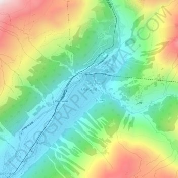
Name: Oberwald topographic map, elevation, terrain.
Location: Oberwald, Obergoms, Goms, Wallis, 3999, Switzerland (46.51286 8.33205 46.55286 8.37205)
Average elevation: 1,744 m
Minimum elevation: 1,350 m
Maximum elevation: 2,496 m