Geolocate

Allin Qhapaq topographic map

Click on the map to display elevation.

About this map

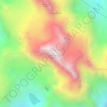
Name: Allin Qhapaq topographic map, elevation, terrain.

Location: Allin Qhapaq, Macusani, Province of Carabaya, Puno, Peru (-13.90797 -70.41636 -13.90787 -70.41626)

Average elevation: 5,325 m

Minimum elevation: 4,846 m

Maximum elevation: 5,793 m

Other topographic maps

Click on a map to view its topography, its elevation and its terrain.

Macusani

Peru > Puno > Macusani

Average elevation: 4,508 m

Gear up for your next adventure:

🧥Waterproof Hiking Jacket - Protect yourself from rain and wind while hiking
🦶Hiking Shoe Insoles - Added support for high arches and long days on feet
🚲Heavy Duty Bike Lock - Secure your bike at the trailhead or during stops
💡LED Headlamp - Hands-free illumination for night hiking and camping
🦌Outdoor Trail Camera - Monitor wildlife activity near your favorite spots

As an Amazon Associate, this site earns from qualifying purchases at no extra cost to you.