Geolocate

Monroe topographic map

Click on the map to display elevation.

About this map

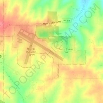
Name: Monroe topographic map, elevation, terrain.

Location: Monroe, Green County, Wisconsin, United States (42.60678 -89.60242 42.62073 -89.57297)

Average elevation: 312 m

Minimum elevation: 269 m

Maximum elevation: 343 m

Gear up for your next adventure:

🥾Trail Running Boots - Durable shoes designed for trail running
🍽️Titanium Camping Spork - Ultralight and indestructible eating utensil
🎒Hiking Daypack - Lightweight and durable backpacks for day trips and excursions
🥾Trail Hiking Socks - Comfortable socks to prevent blisters and fatigue
🏕️Camping Hammock - Integrated protection for sleeping between trees

As an Amazon Associate, this site earns from qualifying purchases at no extra cost to you.