Geolocate

Winchester topographic map

Click on the map to display elevation.

About this map
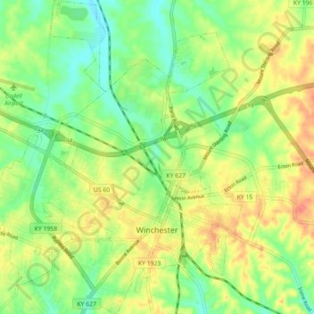
Name: Winchester topographic map, elevation, terrain.

Location: Winchester, Clark County, Kentucky, United States (37.97144 -84.22872 38.04113 -84.15570)

Average elevation: 296 m

Minimum elevation: 269 m

Maximum elevation: 328 m

Gear up for your next adventure:

🥾Waterproof Hiking Boots - Essential footwear for rugged terrain and wet Canadian trails
🪑Insulated Seat Pad - Protect your seat from cold rocks and wet logs
🧥Packable Rain Jacket - Breathable waterproof layer for unpredictable weather
🦟Insect Repellent - Keep mosquitoes and black flies away in wooded areas
🌬️Windproof Camp Stove - Efficient cooking even on exposed mountain peaks

As an Amazon Associate, this site earns from qualifying purchases at no extra cost to you.