Geolocate

Safaga topographic map

Click on the map to display elevation.

About this map

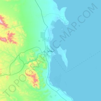
Name: Safaga topographic map, elevation, terrain.

Location: Safaga, Red Sea, 84711, Egypt (26.60333 33.77838 26.92333 34.09838)

Average elevation: 125 m

Minimum elevation: 0 m

Maximum elevation: 1,032 m

Gear up for your next adventure:

🥾Mountaineering Boots - Supportive boots for climbing and high-altitude hiking
🥾Trail Hiking Boots - Supportive boots for rough trails
🥾Hiking Boots - Sturdy boots providing ankle support and traction on rugged trails
🥾Light Hiking Boots - Lightweight and comfortable boots for day hikes
🧰Multitool Knife - Compact and versatile tool for outdoor use

As an Amazon Associate, this site earns from qualifying purchases at no extra cost to you.