Geolocate

Walled Lake topographic map

Click on the map to display elevation.

About this map

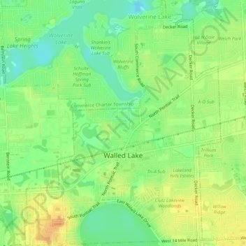
Name: Walled Lake topographic map, elevation, terrain.

Location: Walled Lake, Oakland County, Michigan, United States (42.52544 -83.49937 42.55891 -83.46297)

Average elevation: 287 m

Minimum elevation: 270 m

Maximum elevation: 304 m

Other topographic maps

Click on a map to view its topography, its elevation and its terrain.

Greens Lake

United States > Michigan > Oakland County

Average elevation: 309 m

Rossman Lake

United States > Michigan > Oakland County

Average elevation: 314 m

Gear up for your next adventure:

🧭GPS Handheld Device - Reliable GPS navigation for outdoor adventures
🧭GPS Tracker - Track your location in remote areas safely
🎒Hiking Daypack - Lightweight and durable backpacks for day trips and excursions
Lightweight Camping Tent - Portable shelter optimized for Canadian backcountry camping
🧼Biodegradable Camp Soap - Environmentally friendly cleaning for gear and body

As an Amazon Associate, this site earns from qualifying purchases at no extra cost to you.