

Benicarló topographic map
Click on the map to display elevation.
About this map
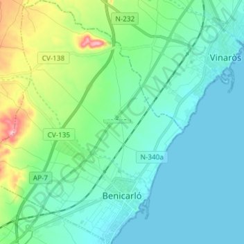
Name: Benicarló topographic map, elevation, terrain.
Average elevation: 33 m
Minimum elevation: -1 m
Maximum elevation: 165 m
Other topographic maps
Click on a map to view its topography, its elevation and its terrain.

Mirador de l'Ermita de la Mare de Déu dels Àngels
Spain > Valencian Community > el Baix Maestrat > Sant Mateu
Average elevation: 351 m

Mirador del Mestrat
Spain > Valencian Community > el Baix Maestrat > la Salzadella
Average elevation: 482 m