
Navarre topographic map
Click on the map to display elevation.
Navarre
Navarre is located at 30°24′04″N 86°51′47″W / 30.401°N 86.863°W / 30.401; -86.863Coordinates: 30°24′04″N 86°51′47″W / 30.401°N 86.863°W / 30.401; -86.863. It is located within a portion of the Florida Panhandle observing the Central Time Zone. Elevation is at an average of 10 feet (3.0 m).
About this map
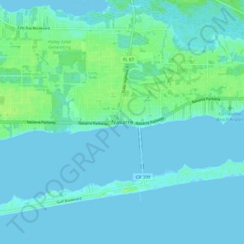
Name: Navarre topographic map, elevation, terrain.
Location: Navarre, Santa Rosa County, Florida, 32566, United States (30.36198 -86.91008 30.44198 -86.83008)
Average elevation: 4 m
Minimum elevation: -4 m
Maximum elevation: 25 m