
Clovis topographic map
Click on the map to display elevation.
Clovis
Clovis is a city in Fresno County, California, United States. The 2020 population was 120,124. Clovis is located 6.5 miles (10.5 km) northeast of downtown Fresno, at an elevation of 361 feet (110 m).
About this map
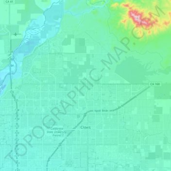
Name: Clovis topographic map, elevation, terrain.
Location: Clovis, Fresno County, California, United States (36.78297 -119.73256 36.94660 -119.62173)
Average elevation: 127 m
Minimum elevation: 75 m
Maximum elevation: 492 m