
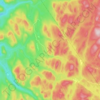
Rivière de la Place topographic map
Interactive map
Click on the map to display elevation.
About this map
Name: Rivière de la Place topographic map, elevation, terrain.
Average elevation: 668 m
Minimum elevation: 487 m
Maximum elevation: 871 m
La Jacques-Cartier trails, hiking, mountain biking, running and outdoor activities