
Divoš topographic map
Interactive map
Click on the map to display elevation.
About this map
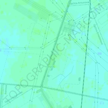
Name: Divoš topographic map, elevation, terrain.
Location: Divoš, Općina Ernestinovo, Osijek-Baranja County, Croatia (45.45428 18.65364 45.47908 18.68494)
Average elevation: 85 m
Minimum elevation: 82 m
Maximum elevation: 89 m
Other topographic maps
Click on a map to view its topography, its elevation and its terrain.