Geolocate

Monte Pennino topographic map

Click on the map to display elevation.

About this map

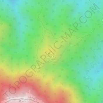
Name: Monte Pennino topographic map, elevation, terrain.

Location: Monte Pennino, Garessio, Cuneo, Piedmont, 12075, Italy (44.16841 8.02593 44.16851 8.02603)

Average elevation: 1,068 m

Minimum elevation: 696 m

Maximum elevation: 1,689 m

Gear up for your next adventure:

🔋Emergency Crank Radio - Weather alerts and power without needing batteries
🗺️Topographic Maps - Detailed maps to explore trails, mountains, and wilderness areas
🚑Survival Whistle - Signal for help across long distances in mountains
🥾Trekking Boots - Durable boots for long-distance trekking
🧣Merino Neck Gaiter - Protects against wind, sun, and cold at high altitudes

As an Amazon Associate, this site earns from qualifying purchases at no extra cost to you.