

Filisur topographic map
Click on the map to display elevation.
Filisur
Before 2017, the municipality was located in the Bergün subdistrict of the Albula district, since 2017 it is part of the Albula Region. It consists of the village of Filisur and the hamlet of Jenisberg at an elevation of 1,504 m (4,934 ft).
About this map
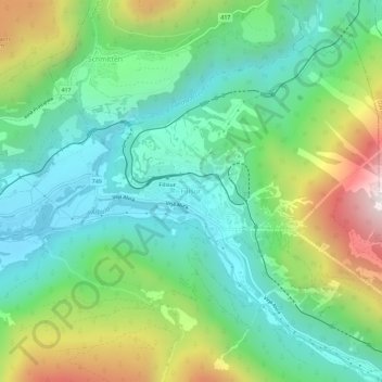
Name: Filisur topographic map, elevation, terrain.
Location: Filisur, Bergün Filisur, Albula, Grisons, 7477, Switzerland (46.65378 9.66597 46.69378 9.70597)
Average elevation: 1,319 m
Minimum elevation: 949 m
Maximum elevation: 2,137 m