

Zwiesel topographic map
Click on the map to display elevation.
Zwiesel
Zwiesel has an humid continental climate (Köppen: Dfb; Trewartha: Dclo). The Zwiesel weather station is located at an altitude of 615 m (2,018 ft). The temperature is significantly lower than in most parts of Germany by several degrees. At the same time, the average annual precipitation exceeds 1,000 mm (39 in), which is relatively rare in Germany.
About this map
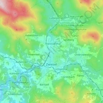
Name: Zwiesel topographic map, elevation, terrain.
Location: Zwiesel, Landkreis Regen, Bavaria, 94227, Germany (48.97739 13.16353 49.07248 13.26513)
Average elevation: 681 m
Minimum elevation: 526 m
Maximum elevation: 1,133 m