Geolocate

Georgetown Charter Township topographic map

Click on the map to display elevation.

About this map

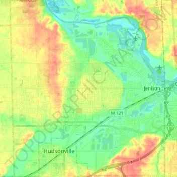
Name: Georgetown Charter Township topographic map, elevation, terrain.

Location: Georgetown Charter Township, Ottawa County, Michigan, 49428, United States (42.85608 -85.90386 42.95793 -85.78210)

Average elevation: 199 m

Minimum elevation: 176 m

Maximum elevation: 230 m

Other topographic maps

Click on a map to view its topography, its elevation and its terrain.

Borculo

United States > Michigan > Ottawa County > Olive Township

Average elevation: 197 m

West Olive

United States > Michigan > Ottawa County

Average elevation: 189 m

Wright

United States > Michigan > Ottawa County > Wright Township

Average elevation: 265 m

Aman Park

United States > Michigan > Ottawa County > Tallmadge

Average elevation: 207 m

Grand Valley

United States > Michigan > Ottawa County

Average elevation: 199 m

Port Sheldon

United States > Michigan > Ottawa County

Average elevation: 185 m

Gear up for your next adventure:

🦌Outdoor Trail Camera - Monitor wildlife activity near your favorite spots
Lightweight Backpacking Tent - Compact tent for efficient hiking trips
💡LED Camping Lantern - Illuminate your campsite with long-lasting lanterns
🧢Outdoor Visor - Breathable visor for sunny hikes
🥾Light Trekking Boots - Supportive boots for multi-day treks

As an Amazon Associate, this site earns from qualifying purchases at no extra cost to you.