Geolocate

Pedregosa topographic map

Click on the map to display elevation.

About this map

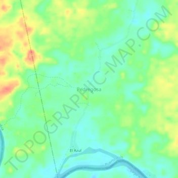
Name: Pedregosa topographic map, elevation, terrain.

Location: Pedregosa, Puerto Asís, Putumayo, RAP Amazonía, Colombia (0.25836 -76.65423 0.29836 -76.61423)

Average elevation: 264 m

Minimum elevation: 244 m

Maximum elevation: 299 m

Gear up for your next adventure:

💧Collapsible Water Bottle - Space-saving water bottle for outdoor activities
🥾Trail Hiking Boots - Supportive boots for rough trails
🥾Waterproof Hiking Boots - Boots keeping your feet dry in wet conditions
🛏️Sleeping Bag - Warm and compact sleeping bags for outdoor camping
Camping Coffee Maker - Brew fresh coffee anywhere on the topographic map

As an Amazon Associate, this site earns from qualifying purchases at no extra cost to you.