
Leander topographic map
Interactive map
Click on the map to display elevation.
About this map
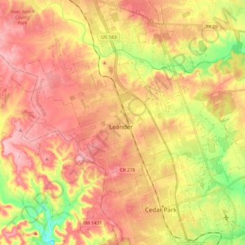
Name: Leander topographic map, elevation, terrain.
Location: Leander, Williamson County, Texas, 78641, United States (30.51141 -97.94604 30.64093 -97.76833)
Average elevation: 297 m
Minimum elevation: 210 m
Maximum elevation: 357 m