Geolocate

Warren topographic map

Click on the map to display elevation.

About this map

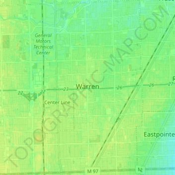
Name: Warren topographic map, elevation, terrain.

Location: Warren, Macomb County, Michigan, United States (42.44718 -83.08688 42.53840 -82.96715)

Average elevation: 190 m

Minimum elevation: 183 m

Maximum elevation: 195 m

Other topographic maps

Click on a map to view its topography, its elevation and its terrain.

Gear up for your next adventure:

Camping Groundsheet - Protect your tent from moisture and dirt
🥾Trail Hiking Boots - Supportive boots for rough trails
🧣Evaporative Cooling Towel - Beat the heat during intense summer climbs
🔭Compact Binoculars - Lightweight optics for scouting trails and wildlife
🧰Survival Kit - Essential gear for emergencies in the wilderness

As an Amazon Associate, this site earns from qualifying purchases at no extra cost to you.