
Make a donation
Gear up for your next adventure:
As an Amazon Associate, this site earns from qualifying purchases at no extra cost to you.
Klínovec topographic map
Click on the map to display elevation.
Make a donation
Gear up for your next adventure:
As an Amazon Associate, this site earns from qualifying purchases at no extra cost to you.
Klínovec
Klínovec (German: Keilberg) is the highest peak of the Ore Mountains, located in the Czech Republic's part of the mountains at 1,244 metres (4,081 ft). There is an 80 m TV broadcasting tower on the top of the mountain and a 24 meter high lookout tower. From the south side, the Jáchymov - Klínovec chairlift leads to the top (length 2,168 m and elevation 480 m), from the north side leads another chairlift Dámská (length 1,210 m and elevation 232 m).
Make a donation
Gear up for your next adventure:
As an Amazon Associate, this site earns from qualifying purchases at no extra cost to you.
About this map
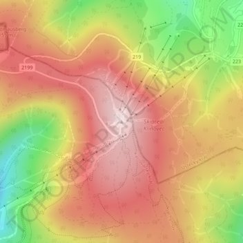
Name: Klínovec topographic map, elevation, terrain.
Average elevation: 1,082 m
Minimum elevation: 831 m
Maximum elevation: 1,249 m
Make a donation
Gear up for your next adventure:
As an Amazon Associate, this site earns from qualifying purchases at no extra cost to you.