

Lower Ninth Ward topographic map
Click on the map to display elevation.
Lower Ninth Ward
The most severely damaged section of the Ward was the lower elevation section, north of Claiborne Avenue. A Bring Back New Orleans Commission preliminary report suggested making this area in whole or part into park space because of the high risk of future flooding. Most Lower 9th Ward residents have strongly objected to this proposal, but outsiders worry about the high risk of future flooding in the area.
About this map
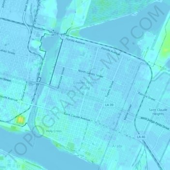
Name: Lower Ninth Ward topographic map, elevation, terrain.
Average elevation: 1 m
Minimum elevation: -4 m
Maximum elevation: 16 m