Geolocate

Mount Gede topographic map

Click on the map to display elevation.

About this map

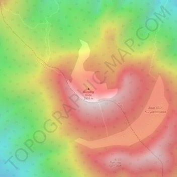
Name: Mount Gede topographic map, elevation, terrain.

Location: Mount Gede, Cianjur, West Java, Java, Indonesia (-6.78789 106.98167 -6.78779 106.98177)

Average elevation: 2,586 m

Minimum elevation: 2,123 m

Maximum elevation: 2,932 m

Other topographic maps

Click on a map to view its topography, its elevation and its terrain.

Sindangbarang

Indonesia > West Java > Cianjur

Average elevation: 148 m

Kertamukti

Indonesia > West Java > Cianjur

Average elevation: 25 m

Wangunjaya

Indonesia > West Java > Cianjur

Average elevation: 17 m

Alun Alun Suryakancana

Indonesia > West Java > Cianjur

Average elevation: 2,568 m

Gear up for your next adventure:

🥾Hiking Shorts - Breathable shorts suitable for summer hikes
🔋Lithium AA Batteries - Long-lasting power that performs in extreme cold
🧶550 Survival Paracord - Versatile utility cord for emergency repairs and rigging
🔋Emergency Crank Radio - Weather alerts and power without needing batteries
🎒Backpack Rain Cover - External shield to keep your entire pack dry

As an Amazon Associate, this site earns from qualifying purchases at no extra cost to you.