Geolocate

Gulfport topographic map

Click on the map to display elevation.

About this map

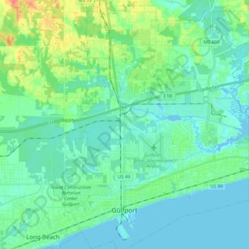
Name: Gulfport topographic map, elevation, terrain.

Location: Gulfport, Harrison County, Mississippi, United States (30.34020 -89.13671 30.50010 -89.00121)

Average elevation: 10 m

Minimum elevation: -8 m

Maximum elevation: 46 m

Other topographic maps

Click on a map to view its topography, its elevation and its terrain.

Gear up for your next adventure:

🔦LED Flashlight - Powerful and long-lasting flashlight for camping and emergencies
🧢Outdoor Visor - Breathable visor for sunny hikes
🧥Insulated Jacket - Keep warm in cold outdoor conditions
🧰Survival Kit - Essential gear for emergencies in the wilderness
🧶550 Survival Paracord - Versatile utility cord for emergency repairs and rigging

As an Amazon Associate, this site earns from qualifying purchases at no extra cost to you.