Geolocate

Balite II topographic map

Click on the map to display elevation.

About this map

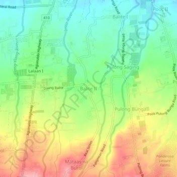
Name: Balite II topographic map, elevation, terrain.

Location: Balite II, Silang, Cavite, Calabarzon, 4118, Philippines (14.16328 120.95410 14.20328 120.99410)

Average elevation: 399 m

Minimum elevation: 347 m

Maximum elevation: 469 m

Gear up for your next adventure:

🥾Trail Running Shoes - Lightweight and durable shoes for trail running
🪑Ultralight Camping Stool - Compact seating for rest stops during long hikes
🧭GPS Outdoor Watch - Smart watch for navigation and fitness tracking in nature
🧥Ultralight Puffy Jacket - Maximum warmth that packs down to the size of an orange
🥾Hiking Shorts - Breathable shorts suitable for summer hikes

As an Amazon Associate, this site earns from qualifying purchases at no extra cost to you.