Geolocate

Tensa topographic map

Click on the map to display elevation.

About this map

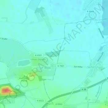
Name: Tensa topographic map, elevation, terrain.

Location: Tensa, Südost, Leipzig, Saxony, 04288, Germany (51.29520 12.49880 51.29634 12.50260)

Average elevation: 134 m

Minimum elevation: 125 m

Maximum elevation: 178 m

Other topographic maps

Click on a map to view its topography, its elevation and its terrain.

Leipzig

Germany > Saxony > Leipzig

Average elevation: 127 m

04158

Germany > Saxony > Leipzig

Average elevation: 131 m

04103

Germany > Saxony > Leipzig

Average elevation: 121 m

Gear up for your next adventure:

🪑Insulated Seat Pad - Protect your seat from cold rocks and wet logs
🕶️Polarized Sunglasses - Protect your eyes with durable polarized lenses
🗺️Topographic Maps - Detailed maps to explore trails, mountains, and wilderness areas
🧭GPS Handheld Device - Reliable GPS navigation for outdoor adventures
🧥Ultralight Puffy Jacket - Maximum warmth that packs down to the size of an orange

As an Amazon Associate, this site earns from qualifying purchases at no extra cost to you.