Geolocate

Babcock Ranch topographic map

Click on the map to display elevation.

About this map

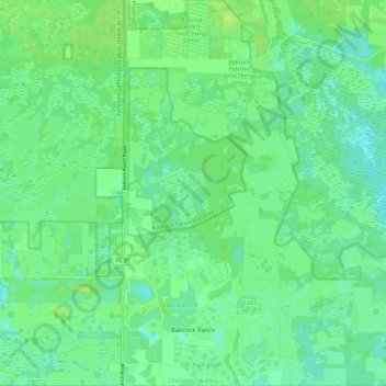
Name: Babcock Ranch topographic map, elevation, terrain.

Location: Babcock Ranch, Charlotte County, Florida, United States (26.76959 -81.76069 26.87353 -81.66880)

Average elevation: 10 m

Minimum elevation: 3 m

Maximum elevation: 19 m

Other topographic maps

Click on a map to view its topography, its elevation and its terrain.

Gear up for your next adventure:

🔦LED Headlamp - Hands-free lighting for early morning starts or late finishes
💡Compact LED Flashlight - Powerful and portable flashlight for outdoor use
🥾Waterproof Trail Shoes - Shoes designed to handle wet terrain
🧦Hiking Liner Socks - Thin base layer to prevent friction and blisters
🧢Sun Hat - Wide-brim hat for sun protection

As an Amazon Associate, this site earns from qualifying purchases at no extra cost to you.