

Monte San Valentin topographic map
Click on the map to display elevation.
Monte San Valentin
There is some confusion about the elevation. It was originally estimated at 3,876m by Nordenskjold in 1921 but later thought to be 4,058m. The latter is the most commonly quoted elevation and is quoted here. A French group that climbed the San Valentin in 1993 included two surveyors, who calculated an elevation of 4,080±20 m by using a GPS. In 2001 a Chilean group measured 4,070±40 m, also using GPS. SRTM and ASTER GDEM data also support an elevation in excess of 4,000 metres. However, Chilean IGM mapping gives only 3,910 metres. ChIGM maps are usually accurate and reliable, but the summit is uniformly white, which may have created problems for the cartographers.
About this map
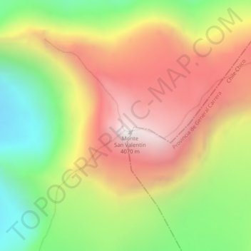
Name: Monte San Valentin topographic map, elevation, terrain.
Average elevation: 3,370 m
Minimum elevation: 2,662 m
Maximum elevation: 4,041 m