Geolocate

Loch Etive topographic map

Click on the map to display elevation.

About this map

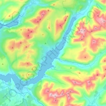
Name: Loch Etive topographic map, elevation, terrain.

Location: Loch Etive, Connel, Argyll and Bute, Scotland, United Kingdom (56.43627 -5.39190 56.56348 -5.06248)

Average elevation: 318 m

Minimum elevation: -1 m

Maximum elevation: 1,111 m

Gear up for your next adventure:

🥾Mountaineering Boots - Supportive boots for climbing and high-altitude hiking
💧Hydration Bladder - Hands-free hydration solution for long treks
🛏️Sleeping Bag - Warm and compact sleeping bags for outdoor camping
🛶Kayak Accessories - Essential gear for safe and fun kayaking adventures
🧼Biodegradable Camp Soap - Environmentally friendly cleaning for gear and body

As an Amazon Associate, this site earns from qualifying purchases at no extra cost to you.