
Lushoto topographic map
Interactive map
Click on the map to display elevation.
About this map
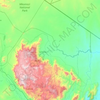
Name: Lushoto topographic map, elevation, terrain.
Location: Lushoto, Tanga Region, Northern Zone, Tanzania (-4.87986 38.11603 -4.11144 38.76080)
Average elevation: 708 m
Minimum elevation: 174 m
Maximum elevation: 2,283 m