Geolocate

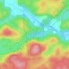
Perkins topographic map

Click on the map to display elevation.

About this map
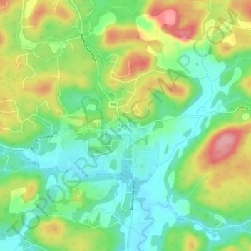
Name: Perkins topographic map, elevation, terrain.

Location: Perkins, Val-des-Monts, Les Collines-de-l'Outaouais, Outaouais, Quebec, J8N 7E7, Canada (45.58015 -75.63934 45.62015 -75.59934)

Average elevation: 151 m

Minimum elevation: 102 m

Maximum elevation: 227 m

Other topographic maps

Click on a map to view its topography, its elevation and its terrain.

Gear up for your next adventure:

🧥Softshell Jacket - Windproof and breathable jacket for hiking
🛁Quick-Dry Microfiber Towel - Space-saving towel that dries rapidly on the move
🥾Waterproof Hiking Boots - Boots keeping your feet dry in wet conditions
🥾Hiking Shorts - Breathable shorts suitable for summer hikes
🔥Camping Stove - Portable stoves to cook outdoors with ease

As an Amazon Associate, this site earns from qualifying purchases at no extra cost to you.