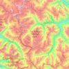
Kaza topographic map
Click on the map to display elevation.
Kaza
Kaza, also spelled Kaze, Karze, Karzey, is a town and the subdivisional headquarters of the remote Spiti Valley in the western Himalayas in the Lahaul and Spiti district of the northern Indian state of Himachal Pradesh. Spiti is a high altitude or cold desert having close similarities to the neighbouring Tibet and Ladakh regions in terms of terrain, climate and the Buddhist culture. Kaza, situated along the Spiti River at an elevation of 3,650 m (11,980 ft) above mean sea level, is the largest township and commercial center of the Spiti valley.
About this map
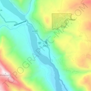
Name: Kaza topographic map, elevation, terrain.
Location: Kaza, Spiti, Lahaul and Spiti, Himachal Pradesh, India (32.18438 78.03226 32.26438 78.11226)
Average elevation: 4,161 m
Minimum elevation: 3,532 m
Maximum elevation: 5,417 m
Other topographic maps
Click on a map to view its topography, its elevation and its terrain.