Geolocate

Fort Morgan topographic map

Click on the map to display elevation.

Fort Morgan

Fort Morgan is located at 40°15′12″N 103°47′57″W / 40.25333°N 103.79917°W / 40.25333; -103.79917 in Morgan County, Colorado at an elevation of 4,324 feet (1,318 m).

Wikipedia (CC-BY-SA 3.0)

About this map

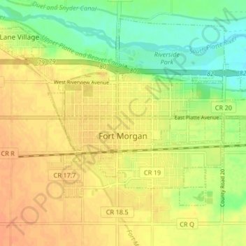
Name: Fort Morgan topographic map, elevation, terrain.

Location: Fort Morgan, Morgan County, Colorado, United States (40.23594 -103.82015 40.27422 -103.75417)

Average elevation: 1,315 m

Minimum elevation: 1,295 m

Maximum elevation: 1,330 m

Gear up for your next adventure:

🧭GPS Outdoor Watch - Smart watch for navigation and fitness tracking in nature
🌡️Emergency Mylar Blankets - Compact thermal protection for unexpected nights outdoors
🔋Solar Power Bank - Keep your GPS and devices charged during long outdoor trips
🧤Rechargeable Heated Gloves - Extreme warmth for Canadian winter expeditions
🎒Backpack Rain Cover - External shield to keep your entire pack dry

As an Amazon Associate, this site earns from qualifying purchases at no extra cost to you.