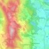
Viechtach topographic map
Click on the map to display elevation.
About this map
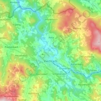
Name: Viechtach topographic map, elevation, terrain.
Location: Viechtach, Landkreis Regen, Bavaria, 94234, Germany (49.04398 12.84174 49.13754 12.99527)
Average elevation: 561 m
Minimum elevation: 385 m
Maximum elevation: 925 m
Other topographic maps
Click on a map to view its topography, its elevation and its terrain.
Großer Arber
Germany > Bavaria > Landkreis Regen > Bayerisch Eisenstein
The Großer Arber (German pronunciation); Czech: Velký Javor, "Great Maple") or Great Arber, is the highest peak of the Bavarian/Bohemian Forest mountain range and in Lower Bavaria, with an elevation of 1,455.5 metres (4,775 ft). As a result, it is known in the Lower Bavarian county of Regen and the Upper…
Average elevation: 1,141 m