Geolocate

Stanhope topographic map

Click on the map to display elevation.

About this map

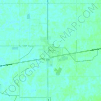
Name: Stanhope topographic map, elevation, terrain.

Location: Stanhope, Shire of Campaspe, Victoria, Australia (-36.46496 144.96324 -36.42496 145.00324)

Average elevation: 108 m

Minimum elevation: 104 m

Maximum elevation: 111 m

Gear up for your next adventure:

🎒Hiking Backpack - Lightweight and ergonomic backpacks for day hikes or multi-day treks
Camping Groundsheet - Protect your tent from moisture and dirt
🧥Waterproof Jacket - Lightweight rain jackets for hiking and outdoor activities
🧼Travel Hand Sanitizer - Keep hands clean when water is scarce
🔭Compact Binoculars - Lightweight optics for scouting trails and wildlife

As an Amazon Associate, this site earns from qualifying purchases at no extra cost to you.