Geolocate

Bukay Pait topographic map

Click on the map to display elevation.

About this map

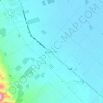
Name: Bukay Pait topographic map, elevation, terrain.

Location: Bukay Pait, South Cotabato, Soccsksargen, 9510, Philippines (6.54441 124.74949 6.58441 124.78949)

Average elevation: 39 m

Minimum elevation: 11 m

Maximum elevation: 297 m

Other topographic maps

Click on a map to view its topography, its elevation and its terrain.

Koronadal

Philippines > South Cotabato

Average elevation: 164 m

Polomolok

Philippines > South Cotabato

Average elevation: 485 m

Gear up for your next adventure:

🔥Camping Stove - Portable stoves to cook outdoors with ease
💧Hydration Bladder - Hands-free hydration solution for long treks
🧦Outdoor Socks - Durable socks designed for hiking and outdoor sports
🧦Hiking Liner Socks - Thin base layer to prevent friction and blisters
Camping Tent - Weather-resistant tents suitable for 2 to 6 people

As an Amazon Associate, this site earns from qualifying purchases at no extra cost to you.