Geolocate

Shantipur topographic map

Click on the map to display elevation.

Shantipur

Santipur is located at 23°15′N 88°26′E / 23.25°N 88.43°E / 23.25; 88.43. It has an average elevation of 15 metres (49 feet).

Wikipedia (CC-BY-SA 3.0)

About this map

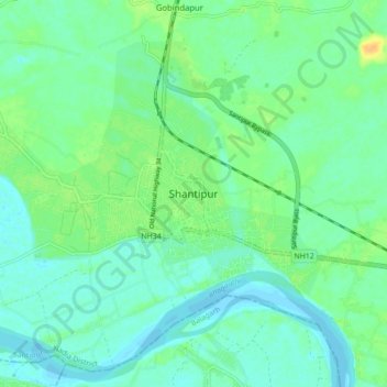
Name: Shantipur topographic map, elevation, terrain.

Location: Shantipur, Santipur, Nadia, West Bengal, 741404, India (23.08640 88.28370 23.40640 88.60370)

Average elevation: 11 m

Minimum elevation: 0 m

Maximum elevation: 28 m

Gear up for your next adventure:

🧼Biodegradable Camp Soap - Environmentally friendly cleaning for gear and body
🧴Outdoor Sunscreen - High SPF protection for high-altitude UV exposure
🥾Hiking Gaiters - Protect legs and shoes from mud, snow, and debris
🥾Hiking Shoes - Durable and comfortable shoes for trail hiking
🥫Freeze-Dried Meals - Lightweight, high-calorie nutrition for multi-day treks

As an Amazon Associate, this site earns from qualifying purchases at no extra cost to you.