Geolocate

Ellinwood topographic map

Click on the map to display elevation.

About this map

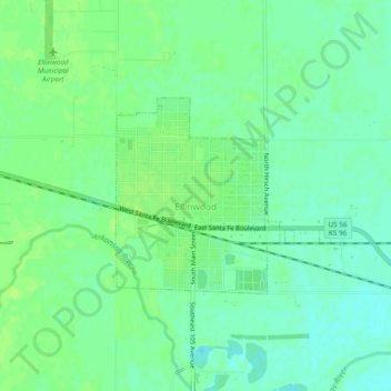
Name: Ellinwood topographic map, elevation, terrain.

Location: Ellinwood, Barton County, Kansas, 67526, United States (38.34725 -98.61189 38.36590 -98.56457)

Average elevation: 547 m

Minimum elevation: 540 m

Maximum elevation: 551 m

Gear up for your next adventure:

🔭Outdoor Binoculars - Lightweight binoculars for birdwatching and hiking
🦌Outdoor Trail Camera - Monitor wildlife activity near your favorite spots
🧥Packable Rain Jacket - Breathable waterproof layer for unpredictable weather
🥾Trail Hiking Boots - Supportive boots for rough trails
🧥Softshell Hiking Jacket - The perfect balance of wind protection and breathability

As an Amazon Associate, this site earns from qualifying purchases at no extra cost to you.