Geolocate

Elevation topographic map

Click on the map to display elevation.

About this map

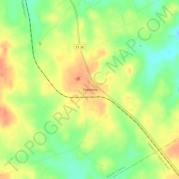
Name: Elevation topographic map, elevation, terrain.

Location: Elevation, Milam County, Texas, United States (30.63353 -96.83887 30.67353 -96.79887)

Average elevation: 150 m

Minimum elevation: 125 m

Maximum elevation: 171 m

Other topographic maps

Click on a map to view its topography, its elevation and its terrain.

Rockdale

United States > Texas > Milam County

Average elevation: 147 m

Cameron

United States > Texas > Milam County

Average elevation: 116 m

Milano

United States > Texas > Milam County

Average elevation: 149 m

Gear up for your next adventure:

🧥Thermal Layer - Insulating layer for cold outdoor conditions
🗺️Topographic Maps - Detailed maps to explore trails, mountains, and wilderness areas
🧭Orienteering Kit - Tools for map reading and navigation in the wild
💡LED Headlamp - Hands-free illumination for night hiking and camping
🥾Approach Boots - Comfortable boots for hiking and climbing approaches

As an Amazon Associate, this site earns from qualifying purchases at no extra cost to you.