Geolocate

11th district topographic map

Click on the map to display elevation.

About this map

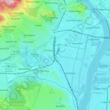
Name: 11th district topographic map, elevation, terrain.

Location: 11th district, Budapest, Central Hungary, Hungary (47.42776 18.96990 47.48868 19.06751)

Average elevation: 139 m

Minimum elevation: 93 m

Maximum elevation: 451 m

Gear up for your next adventure:

🛶Kayak Accessories - Essential gear for safe and fun kayaking adventures
🧥Packable Rain Jacket - Breathable waterproof layer for unpredictable weather
Camping Coffee Maker - Brew fresh coffee anywhere on the topographic map
💡LED Camping Lantern - Illuminate your campsite with long-lasting lanterns
🔋Solar Power Bank - Keep your GPS and devices charged during long outdoor trips

As an Amazon Associate, this site earns from qualifying purchases at no extra cost to you.