
Thank you for supporting this site ❤️
Make a donation
Make a donation
Gear up for your next adventure:
As an Amazon Associate, this site earns from qualifying purchases at no extra cost to you.
Vejer topographic map
Click on the map to display elevation.
Thank you for supporting this site ❤️
Make a donation
Make a donation
Gear up for your next adventure:
As an Amazon Associate, this site earns from qualifying purchases at no extra cost to you.
About this map
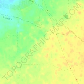
Name: Vejer topographic map, elevation, terrain.
Location: Vejer, La Luisiana, Sevilla, Andalusia, 41439, Spain (37.56819 -5.20307 37.58819 -5.18307)
Average elevation: 175 m
Minimum elevation: 157 m
Maximum elevation: 185 m
Thank you for supporting this site ❤️
Make a donation
Make a donation
Gear up for your next adventure:
As an Amazon Associate, this site earns from qualifying purchases at no extra cost to you.