
Rutland City topographic map
Interactive map
Click on the map to display elevation.
About this map
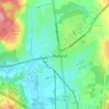
Name: Rutland City topographic map, elevation, terrain.
Location: Rutland City, Rutland County, Vermont, 05702, United States (43.58673 -73.01146 43.63127 -72.94557)
Average elevation: 199 m
Minimum elevation: 149 m
Maximum elevation: 311 m