Geolocate

Venice Groves topographic map

Click on the map to display elevation.

About this map

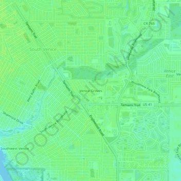
Name: Venice Groves topographic map, elevation, terrain.

Location: Venice Groves, South Venice, Sarasota County, Florida, 34293, United States (27.03284 -82.42454 27.07284 -82.38454)

Average elevation: 6 m

Minimum elevation: 0 m

Maximum elevation: 9 m

Other topographic maps

Click on a map to view its topography, its elevation and its terrain.

Gear up for your next adventure:

🥾Hiking Boots - Sturdy boots providing ankle support and traction on rugged trails
🩹Compact First Aid Kit - Pre-packed essentials for common trail injuries
🛌Insulated Sleeping Pad - Critical thermal barrier between you and the cold ground
🧼Biodegradable Camp Soap - Environmentally friendly cleaning for gear and body
🥽Outdoor Goggles - Protective eyewear for outdoor activities

As an Amazon Associate, this site earns from qualifying purchases at no extra cost to you.