
Paine topographic map
Click on the map to display elevation.
Paine
The Aculeo Lagoon was located within the commune of Paine, it was one of the main recreation centers for the people of Santiago and the only natural lagoon in the region. There are various campsites in the sector. In its territory are also the Altos de Cantillana, a natural reserve consisting of high-altitude mountains, whose plants and animals are worthy of interest. In addition, this commune is a place of huasas traditions.
About this map
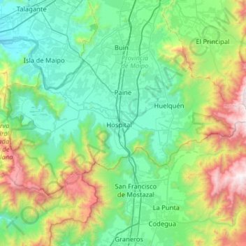
Name: Paine topographic map, elevation, terrain.
Average elevation: 815 m
Minimum elevation: 264 m
Maximum elevation: 2,730 m
Other topographic maps
Click on a map to view its topography, its elevation and its terrain.