Geolocate

Clayfield topographic map

Click on the map to display elevation.

About this map

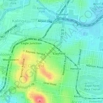
Name: Clayfield topographic map, elevation, terrain.

Location: Clayfield, Brisbane City, Queensland, Australia (-27.42962 153.04463 -27.40775 153.06454)

Average elevation: 22 m

Minimum elevation: 2 m

Maximum elevation: 76 m

Other topographic maps

Click on a map to view its topography, its elevation and its terrain.

Grange Heights

Australia > Queensland > Brisbane City

Average elevation: 34 m

Gear up for your next adventure:

🧥Ultralight Puffy Jacket - Maximum warmth that packs down to the size of an orange
🧦Thermal Socks - Warm socks for winter hiking or camping
Bushcraft Tarp - Versatile emergency shelter or gear protection
🛌Down Sleeping Bag - Superior warmth-to-weight ratio for cold nights
🥾Mountaineering Boots - Supportive boots for climbing and high-altitude hiking

As an Amazon Associate, this site earns from qualifying purchases at no extra cost to you.